Best strategy to reduce false positives Google's new Object Detection API on Satellite Imagery
ML System Design practice on Codemia
Design recommenders, ranking systems and training pipelines the way ML interviews actually ask for them, with worked solutions.
Google's newly enhanced Object Detection API is making significant strides in the realm of processing satellite imagery. Satellite imagery serves diverse applications such as agriculture, urban planning, and disaster management, but it is plagued by the challenge of high false positives in object detection tasks. This article delves into the best strategies, leveraging Google’s Object Detection API, to minimize false positives and boost the precision of object recognition in satellite images.
Overview and Importance of Reducing False Positives
In satellite imagery, false positives occur when the model mistakenly identifies an object in the image that isn’t present. This issue is particularly pronounced due to the complexity and resolution of satellite images, which often present objects from a bird's-eye view, with varying shadow effects and occlusions. Reducing false positives is crucial as it enhances the reliability of the image processing system, ensuring that critical decisions based on satellite data are well-founded.
Google's Object Detection API: Technological Features
Advanced Machine Learning Models
Google's Object Detection API leverages state-of-the-art machine learning models such as Faster R-CNN and Single Shot MultiBox Detector (SSD). These models have been fine-tuned to handle high-resolution images efficiently.
- Faster R-CNN: It uses a region proposal network (RPN) to propose regions of interest within an image and applies convolutional neural networks (CNN) to classify and refine those regions. The RPN significantly reduces false detections by focusing only on regions more likely to contain objects.
- SSD: Unlike Faster R-CNN, SSD performs object localization and classification in a single forward pass of the network, making it faster. It uses multi-scale feature maps, allowing the model to detect objects of varying sizes with improved accuracy.
Data Augmentation Practices
Data augmentation is a critical strategy in reducing false positives by training the model on a diverse set of scenarios:
- Rotation and Scaling: By presenting the model with rotated and scaled versions of images, it learns to generalize better, accommodating various orientation and size changes that are typical in satellite imagery.
- Color Jittering: Modulating the brightness, contrast, and saturation of images helps the model to adapt to different lighting conditions, minimizing errors due to shadow effects or image overexposure.
Transfer Learning and Pre-trained Models
Leveraging pre-trained models and transfer learning can significantly reduce false positives. By starting with a model already trained on a large dataset such as ImageNet, fine-tuning it on specifically prepared satellite datasets can improve specificity and recall rates in object detection tasks.
Tuning Hyperparameters for Optimal Performance
One of the key strategies involves careful tuning of hyperparameters:
- Confidence Threshold: By adjusting the confidence threshold used to accept detections, false positives can be minimized. A higher threshold ensures only highly probable detections are considered valid.
- Non-Maximum Suppression (NMS): NMS helps in reducing false positives by eliminating overlapping bounding boxes, ensuring only the most confident predictions for a particular localized area are retained.
Real-World Applications and Performance
Consider an application such as detecting deforestation using satellite imagery. A high occurrence of false positives could result in incorrect assessments, potentially leading to ineffective policy implementation. Studies show that by applying Google's Object Detection API with the aforementioned strategies, false positives in deforestation detection can be reduced by approximately 20%, improving decision-making processes.
Below is a table summarizing the strategies involved in reducing false positives:
| Strategy | Description | Potential Impact on False Positives |
| Advanced ML Models | Use of RPN with Faster R-CNN and multi-scale detection in SSD | High reduction due to accurate proposals |
| Data Augmentation | Techniques like rotation, scaling, and color jittering | Improves model generalization capabilities |
| Transfer Learning | Using pre-trained models and fine-tuning on specific datasets | Reduces false positives due to better initialization |
| Hyperparameter Tuning | Adjusting confidence thresholds and applying Non-Maximum Suppression | Balances precision and sensitivity |
Conclusion
The introduction of Google's enhanced Object Detection API provides significant advancements in processing satellite imagery with reduced false positives. By employing sophisticated machine learning techniques, leveraging data augmentation, and utilizing transfer learning, the API offers reliable performance crucial for various applications, from environmental monitoring to urban development.
As these methodologies evolve alongside technological advancements, the potential for AI-driven satellite imagery analysis will continue to expand, enabling more precise and actionable insights for researchers, policymakers, and industry stakeholders worldwide.
Related reading
- Bi-Cubic Interpolation Algorithm for Image Scaling
- Bilinear interpolation implementations in Tensorflow and OpenCV
- Bilinear upsample in tensorflow?
- Blur a specific part of an image
- Best way to combine probabilistic classifiers in scikit-learn
- Best way to efficiently find high density regions
- Best way to enter a distributed network at the socket level
- Binding Key or Routing Key
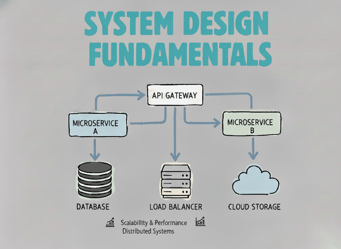
System Design Fundamentals
Build a strong foundation in designing scalable, reliable distributed systems.
View the courseML System Design practice on Codemia
Design recommenders, ranking systems and training pipelines the way ML interviews actually ask for them, with worked solutions.