Good books/articles about spatial indexes
System Design practice on Codemia
Work through 120+ system design problems with detailed solutions, from rate limiters to multi-region storage.
Understanding Spatial Indexes
Spatial indexes are crucial for optimizing the performance of spatial queries in databases that manage geographic or multidimensional data. The understanding of spatial indexes is important for developers and analysts involved in GIS (Geographic Information Systems), databases, and related fields. This article dives into the core concepts, technical details, and resources that are invaluable for mastering spatial indexes.
Key Concepts of Spatial Indexes
Spatial indexes are specialized data structures that enable efficient querying of spatial data. Common spatial data types include points, lines, and polygons. In databases, spatial indexes significantly improve the performance of operations like searching, merging, and spatial relationship testing by reducing the number of comparisons needed.
Types of Spatial Indexes
There are several types of spatial indexes, each with its advantages and disadvantages. Some of the most commonly used include:
- R-Tree: A tree data structure used for spatial access methods, enabling complex spatial querying such as range searching and nearest-neighbor searching.
- Quad-Tree: A tree structure partitioning the space into four quadrants recursively. Ideal for indexing point data in two-dimensional spaces.
- GeoHash: A method that subdivides the earth into grids and provides a hash value representing a specific area. It simplifies searching and indexing processes on geospatial data.
- Grid Indexing: It breaks down the data into a grid-based structure, facilitating faster data retrieval. It's particularly beneficial for uniform data distribution.
- KD-Trees: A k-dimensional tree structure excellent for nearest neighbor searches, often used in computer graphics and pattern recognition applications.
Selected Resources on Spatial Indexes
Below is a curated list of books and articles providing deep insights into spatial indexing. These resources are instrumental for both beginners and experienced practitioners:
| Resource Type | Title/Author/Year | Key Points |
| Book | "Spatial Databases: A Tour" by Shashi Shekhar and Sanjay Chawla (2003) | Comprehensive introduction to spatial databases, covering indexing, GIS, and algorithms. |
| Article | "R-trees: A Dynamic Index Structure for Spatial Searching" by Antonin Guttman (1984) | Seminal paper introducing the R-tree index, with detailed explanations and use cases. |
| Book | "Introduction to Information Retrieval" by Christopher D. Manning, Prabhakar Raghavan, and Hinrich Schütze (2008) | Though focused on text retrieval, it includes chapters that discuss spatial and multidimensional indexing. |
| Article | "The Design and Analysis of Spatial Data Structures" by Hanan Samet (1989) | Focuses on several spatial data structure designs, with algorithm analyses and performance insights. |
| Book | "Principles of Geographical Information Systems" by Peter A. Burrough and Rachael McDonnell (1998) | Covers principles of GIS, including spatial indexing techniques and applications. |
Technical Explanation with Examples
R-Tree Example
Consider a scenario where you need to find all nearby restaurants within a 5-mile radius on a map. An R-tree index can optimize this search by grouping nearby objects and using bounding boxes to quickly filter potential matches.
Here's a simplified R-tree with bounding boxes:
- Dimensionality: Different index types support a varied number of dimensions. Care must be taken when selecting an appropriate indexing method based on data dimensions.
- Update Costs: Spatial indexes often incur higher maintenance costs during data updates (inserts, deletes) due to the need to reorganize the index structure.
- Data Distribution: The effectiveness of an index may vary with data distribution. Techniques like grid indexing may not perform well with clustered data compared to grid data.
Related reading
- good noSQL? database for physical measurements
- Good tool to visualise database schema?
- grant remote access of MySQL database from any IP address
- Great articles/videos/... on non-ACID (distributed) systems? (Eventually Consistent etc.)
- Greenplum query cost does not match the query analyze
- Griddbs data partitioning implementation and impact on performance
- GROUP BY - do not group NULL
- Group by date only on a Datetime column
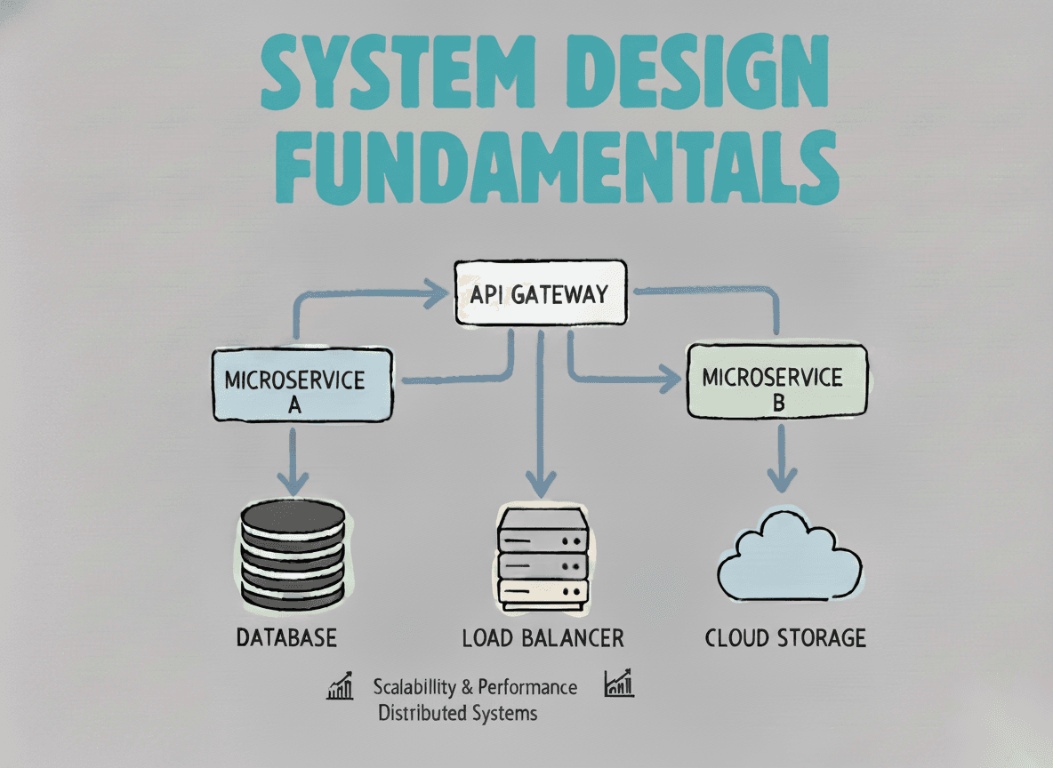
System Design Fundamentals
Build a strong foundation in designing scalable, reliable distributed systems.
View the courseSystem Design practice on Codemia
Work through 120+ system design problems with detailed solutions, from rate limiters to multi-region storage.