What did replace Geo Library for Amazon DynamoDB?
System Design practice on Codemia
Work through 120+ system design problems with detailed solutions, from rate limiters to multi-region storage.
Overview
Amazon DynamoDB, a managed NoSQL database service, is widely recognized for its scalability, performance, and managed infrastructure. Originally, when users wanted to perform geospatial queries, they relied on the Geo Library for Amazon DynamoDB. However, this library had its limitations, and over time, advancements and improvements in services, as well as additional tooling and methodologies, became available that replaced the need for the Geo Library. This article will delve into these enhancements and alternatives.
Geo Library: A Brief Recap
The Geo Library for Amazon DynamoDB was a Java-based solution that allowed users to add geospatial querying capabilities to their DynamoDB tables. It facilitated queries like finding points within a geographical polygon or querying for the nearest neighbors in a dataset. However, it was configured manually and required some expertise in implementing geospatial logic.
Replacements and Alternatives
1. DynamoDB's Enhanced Features
DynamoDB's core features have continued to evolve, allowing for more efficient designs and patterns that can mimic geospatial query functionalities without relying directly on the Geo Library:
- Composite Keys: By leveraging partition and sort keys, users can design schemas that efficiently map regions or geographic features.
- Global Secondary Indexes (GSI): GSIs can be used to provide alternate query patterns, which can mimic some simple geospatial queries.
2. AWS Location Service
AWS introduced the Location Service, which directly supports geospatial queries and many geolocation capabilities:
- Integration with Amazon EventBridge and AWS Lambda allows for real-time geospatial events processing.
- Geocoding/Reverse Geocoding APIs: Convert addresses to geographic coordinates or vice versa.
- Tracking and Geofencing: Efficiently tracks devices and triggers events when they enter/exit geographical boundaries.
Example
To use AWS Location Service in place of the Geo Library, a user can set up a tracker, which will store and manage device locations or events within a geofence collection:
3. AWS OpenSearch Service
AWS OpenSearch Service, formerly known as Amazon Elasticsearch Service, also offers robust geospatial query capabilities:
- Geo-point Type: Stores latitude and longitude values.
- Query Capabilities: Facilities like geo-distance, geo-bounding box, and geo-polygon queries that are natively supported and highly efficient.
OpenSearch Example
An example of a geo-distance query in OpenSearch:
4. AWS S3 and Athena
For large, analytical datasets where more complex spatial operations are necessary, using S3 with AWS Athena can be applied:
- Geospatial Functions: Athena supports built-in geospatial functions, which offer precise query transformations over large datasets stored in S3.
Comparison Table
| Feature/Service | Description | Best Use Case |
| DynamoDB Composite Keys | Use composite keys for sorting geographic blocks | Simple proximity searches |
| AWS Location Service | Native geolocation with tracking and geofencing capabilities | Real-time tracking and event triggers |
| AWS OpenSearch Service | Full-text search and geospatial queries with indexing | Complex search queries over a specific area |
| S3 and Athena | Storage and analytical querying of massive datasets | Spatial analysis and deep data insights |
Conclusion
The deprecation of the Geo Library does not imply a loss but rather a shift towards more robust, scalable solutions. AWS has diversified its services and enhanced its capabilities to natively support geospatial capabilities, each tailored to different needs and use cases. Whether through real-time tracking with the AWS Location Service or complex search queries with OpenSearch, users have more options than ever to implement geospatial logic efficiently and effectively.
Related reading
- What does amazon AWS mean by network performance?
- What does AssumeRole Service ec2 do?
- What does 'cpu' parameter mean in aws container service?
- What does IOPS in Amazon EBS mean in practice?
- What difference does .AsNoTracking make?
- What do Clustered and Non-Clustered index actually mean?
- What does Kubernetes actually do?
- What does Kubernetes cronjobs startingDeadlineSeconds exactly mean?
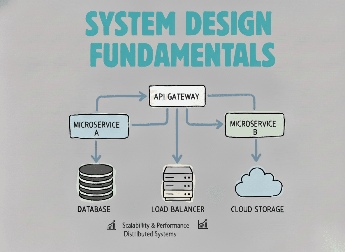
System Design Fundamentals
Build a strong foundation in designing scalable, reliable distributed systems.
View the courseSystem Design practice on Codemia
Work through 120+ system design problems with detailed solutions, from rate limiters to multi-region storage.