Find tunnel 'center line'?
System Design practice on Codemia
Work through 120+ system design problems with detailed solutions, from rate limiters to multi-region storage.
Introduction
In the field of civil engineering, determining the tunnel 'center line' is a critical aspect of tunnel construction and maintenance. This 'center line' serves as the reference line or path that indicates the exact alignment of the tunnel's planned or existing path. It is crucial for ensuring the structural integrity, safety, accurate tunneling, and any subsequent interventions required for maintenance or upgrades.
This article delves into the significance of finding the tunnel center line, explores technical methods for determination, and provides practical examples and usage scenarios.
Importance of Finding the Tunnel Center Line
The 'center line' in tunnel engineering is essential for multiple reasons:
- Accurate Alignment: Guarantees the precise direction and curvature of the tunnel, crucial for long-term integrity.
- Construction Reference: Serves as a template for construction efforts, guiding drilling equipment and crews.
- Safety Assurance: Ensures that the tunnel does not deviate into unstable soil compositions or conflict with other underground structures.
- Optimization: Helps in planning for efficient ventilation, drainage, and structural support mechanisms.
Methods for Determining the Tunnel Center Line
Classical Surveying Techniques
Traditional methods for determining the tunnel center line have relied on methods such as:
- Triangulation: This method utilizes a series of connected triangles, calculated using the angles between them, to trace out the tunnel path.
- Traversing: Involves precise angle and distance measurements using theodolites and total stations to plot the center line point by point.
- Leveling: Ensures that the center line maintains a specific gradient which is vital for certain tunnel functions like drainage.
Modern Geospatial Technology
The advent of modern technology has introduced more sophisticated and efficient methods:
- Global Navigation Satellite Systems (GNSS): Advanced GNSS tools can precisely locate surface points and contribute data to model the underground tunnel path.
- Geographic Information Systems (GIS): Integrates various geographic data—elevation, soil composition, nearby structures—to plan out the tunnel's center line.
- LiDAR (Light Detection and Ranging): Employed to map current features and assist in planning new paths, particularly for projects extending or modifying existing tunnels.
Example: Application in Tunnel Boring Machines (TBMs)
Tunnel Boring Machines require the exact coordinates of the tunnel's center line to operate efficiently. TBMs are equipped with specialized down-the-hole laser systems and advanced geospatial software that continuously readjust the machine's path according to pre-determined center line data.
Challenges in Finding the Tunnel Center Line
Despite the available technological advancements, several challenges persist:
- Environmental Factors: Topographical variances, subterranean water bodies, and unpredictable ground conditions can complicate center line detailing.
- Accuracy: Even minor errors can exponentially affect long tunnels, necessitating high precision in measurements.
- Data Integration: Combining multiple datasets from disparate sources can lead to inconsistencies unless expertly managed.
Case Study: The Gotthard Base Tunnel
An example of sophisticated center line planning is evident in the construction of the Gotthard Base Tunnel in Switzerland. This tunnel, completed in 2016, used a combination of GPS, GIS, and TBMs technology to plot its 57 km long path through the Swiss Alps. The precision involved in establishing its center line is a testament to the integration of traditional tunnel survey methods with modern geospatial technology.
Summary Table
Below is a summary table that encapsulates the key facets of finding tunnel center lines:
| Aspect | Details |
| Purpose | Accurate alignment, reference for construction, safety assurance |
| Traditional Methods | Triangulation, traversing, leveling |
| Modern Techniques | GNSS, GIS, LiDAR |
| Tools Used | Theodolites, GNSS receivers, GIS software, LiDAR systems |
| Challenges | Environmental factors, data integration, measurement accuracy |
| Use Case Example | Tunnel Boring Machines, Gotthard Base Tunnel |
Conclusion
The quest to precisely find and follow a tunnel's center line is a critical component of tunnel engineering. As the complexity and depth of tunnels increase, so does the need for exact alignment and professional oversight. Embracing cutting-edge technology alongside traditional methods ensures both efficiency and safety, paving the way for successful tunnel construction and maintenance.
Related reading
- Finding out disk space of Kubernetes node
- Finding requests per second for distributed system - a textbook query
- Finding the layers and layer sizes for each Docker image
- Fluentd logs is full of backslash and kibana doesn't show k8s pods logs
- For a helm chart, what versions are available?
- For an Amazon S3 bucket deployment from GitHub how do I fix the error AccessControlListNotSupported The bucket does not allow ACLs?
- For how long data is stored in kafka server?
- force refresh of docker image when updated in registry / kubernetes
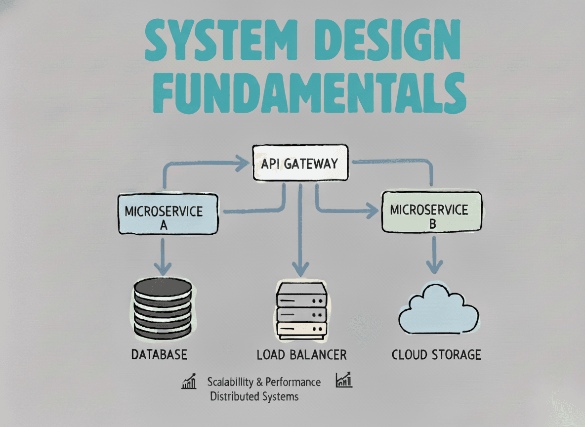
System Design Fundamentals
Build a strong foundation in designing scalable, reliable distributed systems.
View the courseSystem Design practice on Codemia
Work through 120+ system design problems with detailed solutions, from rate limiters to multi-region storage.